Field Scan
A mobile application used by insurance field teams to map farm areas and capture crop survey data on site.
- Domain
- Insurance / Field Operations
- Role
- React Native / Frontend Engineer
- Company
- Kshema General Insurance
- Scale
- Used by field survey teams
About the product
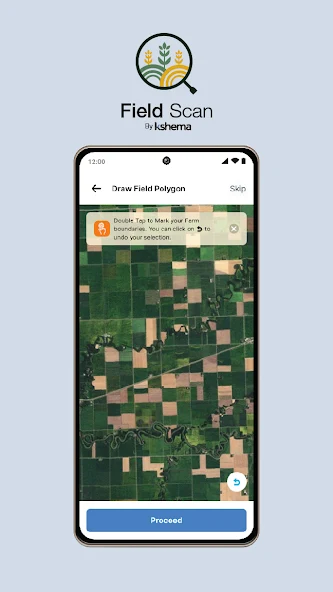
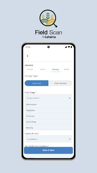
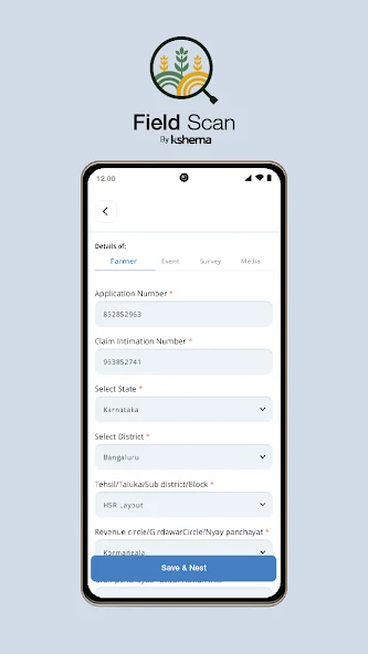
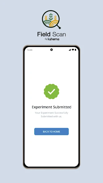
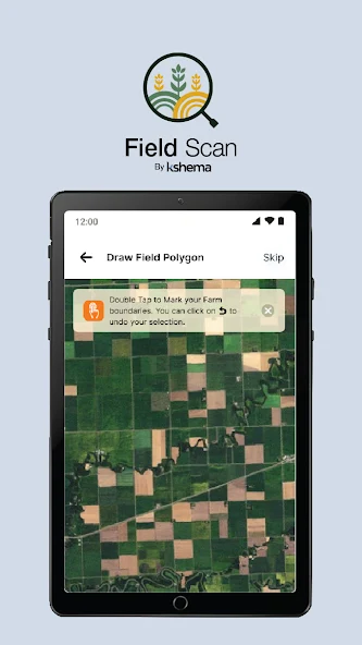
Field Scan is a mobile application for crop-insurance field operations. Survey teams use it on farms to mark field boundaries on satellite imagery, record crop survey information and submit completed surveys from the field.
Who uses it
Field surveyors and agricultural staff working on-site, often in rural areas with limited connectivity.
What I worked on
- React Native application feature development
- Map-based field marking experiences
- Multi-step survey forms with validation
- Camera and location capture in survey flows
- Offline-capable workflows for field users
- REST API integration
- Phone and tablet layouts
Key features
- Farm boundary marking on satellite maps
- Guided crop survey forms
- Photo capture during surveys
- Location-tagged records
- Works in low-connectivity field conditions
- Submission confirmation and history
Engineering highlights
- Built map and form-heavy React Native workflows with reusable components and centralized state.
- Implemented offline-first flows for users operating in unreliable network environments.
- Integrated camera, GPS and mapping capabilities into the survey experience.
- Supported both phone and tablet form factors.
Technology
- React Native
- TypeScript
- Redux
- TanStack Query
- Axios
- Realm
- React Native Maps
Screenshots
Public store screenshots. No confidential company material is included.